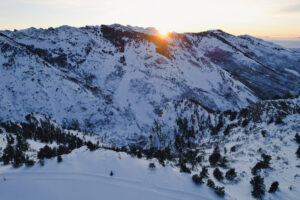
One of the best early season snowpack conditions we have seen in years.
Most all terrain is on with incredible coverage throughout the range.
A high pressure ridge is currently in place with well below normal temperatures for the last several days as an Arctic Blast of air moves south into the Continental US.
The Rubies are currently more than 210% of normal.
Are you ready for the good news? Check out the forecast.
A dominant low pressure trough is expected to take control of the West Coast to close out 2022.
Currently wave after wave is forecasted to impact the Ruby Mountains beginning around December 28th through the first week of the New Year bringing feet of snow currently estimated.
If this forecasts confirms, there is potential to open with some of the best snowpack conditions in the 46 year history of Ruby.


